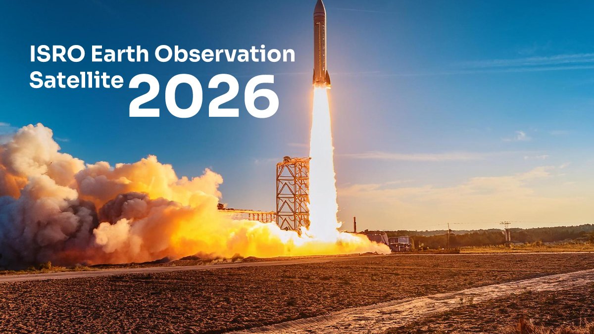
ISRO has successfully launched a new earth observation satellite, reinforcing India's position as a space-faring nation. This groundbreaking mission represents a significant leap in India's remote sensing capabilities and geospatial intelligence infrastructure. For competitive exam aspirants—whether preparing for UPSC, SSC, NDA, or banking exams—understanding space technology developments and their strategic implications is increasingly crucial. In this guide, we break down the satellite launch, its technical specifications, mission objectives, and exactly how this news connects to your exam syllabus.
What Is ISRO's New Earth Observation Satellite? Quick Summary
The earth observation satellite launched by ISRO is designed to capture high-resolution imagery of Earth's surface for civilian and strategic applications. Unlike communication satellites, earth observation satellites focus on monitoring land, water resources, vegetation, urban development, and disaster management across the Indian subcontinent and beyond.
Key specifications include:
- Resolution capability: Multi-spectral imaging with sub-meter to meter-level precision
- Orbital altitude: Positioned in sun-synchronous orbit for consistent observation timing
- Coverage area: Full Earth coverage with repeat cycle optimized for India's geography
- Payload instruments: Advanced sensors for land, water, and atmospheric monitoring
- Mission lifespan: Designed for 5-7 years of continuous operational service
This satellite joins India's constellation of earth observation systems, complementing existing platforms like Resourcesat, Cartosat, and the Hyperspectral Imager.
Strategic Importance: Why This Launch Matters
National Security & Defense Applications
Earth observation satellites provide real-time intelligence for border security, coastal surveillance, and disaster response. For UPSC aspirants studying national security policy, understanding India's space-based surveillance capabilities is now a core current affairs topic. The satellite enables monitoring of strategic territories and rapid damage assessment during natural disasters.
Civilian & Infrastructure Benefits
The satellite's data serves urban planners, environmental agencies, and agricultural departments. Applications include crop health monitoring, flood forecasting, deforestation tracking, and infrastructure development planning. This creates opportunities for sustainable development and evidence-based policy-making—key UPSC essay topics.
Economic & Scientific Value
Geospatial data from earth observation systems has become a $2+ billion global market. India's indigenous capability reduces dependence on foreign satellite imagery and positions Indian firms to export geospatial services regionally.
ISRO's Earth Observation Program: Current Capabilities
| Satellite System | Launch Year | Resolution | Primary Use |
| Cartosat Series | 2005 onwards | Sub-meter | High-precision mapping |
| Resourcesat Series | 2003 onwards | 5-56 meters | Land resources, agriculture |
| HySIS (Hyperspectral) | 2019 | 30 meters | Spectral imaging, minerals |
| New EOS Mission 2026 | 2026 (Latest) | Multi-spectral optimized | Integrated earth monitoring |
Technical Specifications & Launch Details
Launch Vehicle & Orbit
The satellite was injected into a sun-synchronous orbit using ISRO's reliable Polar Satellite Launch Vehicle (PSLV). Sun-synchronous orbits maintain consistent lighting angles throughout the satellite's mission, essential for comparing images captured across different seasons and years.
Payload Configuration
The satellite carries:
- Multispectral sensors: Capturing visible, near-infrared, and thermal bands for comprehensive Earth analysis
- Real-time data transmission: Ground stations receive imagery continuously for operational decisions
- Redundant systems: Backup systems ensure mission continuity if primary components fail
- Advanced processors: On-board computing for initial data filtering before transmission
How This Connects to Your Exam Syllabus
UPSC & BPSC Current Affairs
BPSC and UPSC candidates must track space missions as part of "National developments in science & technology." ISRO achievements frequently appear in Mains essays and General Studies papers. This satellite launch demonstrates India's scientific self-reliance (Atmanirbhar Bharat) and technological progress—both key exam themes.
SSC General Awareness (GK)
SSC CGL, CHSL, and MTS exams include questions on Indian space agencies, satellite types, and their applications. Expect MCQs like: "What is the primary function of earth observation satellites?" or "Name India's sun-synchronous orbit satellite system."
NDA & Defence Exams
For NDA and CDS aspirants, understanding India's space-based reconnaissance capabilities is part of military awareness and national security studies.
Subject-Wise Relevance
- Geography (UPSC, State PSCs): Remote sensing technology, geospatial applications, cartography
- Science & Technology: Satellite technology, orbital mechanics, sensor physics
- Environment & Sustainability: Climate monitoring, disaster management, resource conservation
- Defense & Security Studies: Intelligence gathering, border surveillance, strategic autonomy
Preparation Strategy: Key Topics to Master
Understand Core Concepts
Don't just memorize the satellite name. Understand why earth observation matters:
- Study the difference between communication, weather, and earth observation satellites
- Learn what "sun-synchronous orbit" means and why it's preferred for earth imaging
- Understand multispectral and hyperspectral imaging applications in agriculture, urban planning, and disaster management
- Review India's remote sensing policy and how it supports sustainable development goals
Connect to Broader Themes
Link this news to larger narratives:
- Atmanirbhar Bharat: India's push for technological self-reliance in space
- Make in India: Indigenous satellite manufacturing and export potential
- Sustainable Development Goals: How earth observation supports climate action and resource management
- Regional Geopolitics: Space capabilities as a marker of national power
Practice Essay & Answer Writing
Potential UPSC Mains essay topics inspired by this launch:
- "Space technology as a tool for sustainable development and disaster resilience in India"
- "India's quest for strategic autonomy in space: achievements and challenges"
- "Remote sensing and geospatial data: enabling evidence-based governance"
Career Opportunities in Space Technology & Remote Sensing
For aspirants interested in the space sector beyond competitive exams:
- ISRO Scientist/Engineer posts: Entry via GATE/ICRB recruitment
- Geospatial analyst roles: Government agencies, NGOs, private firms using satellite data
- Disaster management coordination: Using satellite imagery for emergency response
- Agricultural technology: Precision farming using remote sensing data
- Urban planning consultancy: Infrastructure development using geospatial intelligence
How to Stay Updated on Space News for Your Exams
Action steps:
- Follow ISRO's official website and PIB (Press Information Bureau) daily for official announcements
- Subscribe to The Hindu Science and Indian Express Tech sections for contextual analysis
- Join iGET's current affairs forums where expert coaches discuss space missions and their exam relevance
- Create one-page summaries of major space missions (what, when, why, exam relevance)
- Practice MCQs on Indian space program and satellite technology regularly
- Connect space news to broader themes like climate, security, and development for essay preparation
Frequently Asked Questions
What is an earth observation satellite?
Earth observation satellites capture high-resolution images of Earth's surface using advanced sensors. Unlike communication satellites that relay signals, these systems monitor land features, vegetation, water resources, urban development, and environmental changes. Applications include agriculture, disaster management, urban planning, and military surveillance.
How is this different from other ISRO satellites?
ISRO operates three main satellite types: communication (INSAT), weather (INSAT-3D/3DR), and earth observation (Cartosat, Resourcesat, HySIS). This 2026 mission represents an upgraded earth observation platform with enhanced multispectral capabilities, better resolution, and optimized coverage for Indian geographical needs compared to earlier systems.
When will the satellite become operational?
After launch, satellites undergo 2-4 weeks of commissioning. Technical validation includes sensor calibration, orbital verification, and ground station synchronization. As per latest reports, this satellite is expected to commence regular operations within 30-45 days of launch, with full data availability following.
How does this impact the exam syllabus?
Space technology developments are explicitly covered in UPSC General Studies (Science & Technology), SSC General Awareness, and BPSC current affairs sections. Understanding this mission strengthens your knowledge of: Indian space program, technological self-reliance, remote sensing applications, and national security infrastructure—all high-weightage exam topics.
Can I access the satellite data?
Yes. ISRO follows an open-data policy. Earth observation data is available through BHUVAN (ISRO's geospatial portal) and national data repositories. Researchers, students, government agencies, and authorized organizations can access imagery for legitimate purposes. This represents India's commitment to open science and evidence-based governance.
What are the main applications of this satellite?
Primary applications include: agricultural monitoring and crop health assessment, disaster management (floods, earthquakes, landslides), urban growth tracking, water resource management, forest and vegetation monitoring, infrastructure development planning, coastal surveillance, and climate change research. The satellite supports evidence-based policy-making across multiple sectors.
Key Takeaways for Exam Preparation
- ISRO's new earth observation satellite (2026) enhances India's remote sensing and surveillance capabilities
- Strategic relevance: Strengthens India's Atmanirbhar Bharat initiative and technological independence
- Exam focus areas: Current affairs, science & technology, national security, sustainable development, geospatial applications
- Preparation approach: Understand concepts deeply, connect to broader themes, practice writing answers, follow official sources
- Long-term value: Space technology knowledge supports performance across UPSC, SSC, BPSC, and defence exams
Stay ahead of exam syllabi by tracking space missions closely. ISRO's achievements are not just technical milestones—they represent India's scientific progress, national capability, and strategic autonomy. Make this a regular part of your current affairs study routine, and you'll consistently outperform peers in the examination hall.
📌 Source: Information based on latest reports and official notifications as of 03 May 2026. For the most accurate and updated details, candidates are advised to visit the PIB India / ISRO Official. iGET is a learning resource portal — we do not represent any official authority. Verify all dates, eligibility, and procedures from official sources before applying.