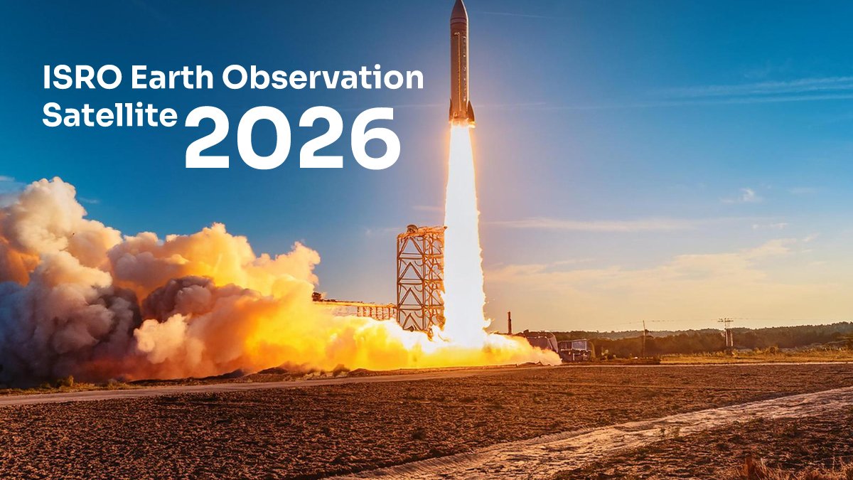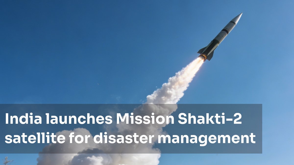
India successfully launched Mission Shakti-2 on 30 April 2026, marking a significant milestone in the country's disaster management and earth observation capabilities. This advanced satellite represents a major leap in India's indigenous space technology, designed to provide real-time disaster monitoring and climate resilience support across the nation. For UPSC aspirants, SSC candidates, and all competitive exam takers, this development is crucial to understand—it bridges geography, science, technology, and governance in ways exam boards actively test.
This comprehensive guide unpacks everything you need to know about Mission Shakti-2: what it is, why it matters, how it works, and exactly how to prepare for related exam questions.
What is Mission Shakti-2? Quick Summary
Mission Shakti-2 is India's latest earth observation satellite designed specifically for disaster management and climate monitoring. The satellite is an upgraded version in the Shakti mission series, developed by ISRO (Indian Space Research Organisation) to strengthen India's capacity to predict, monitor, and respond to natural disasters like floods, earthquakes, landslides, and cyclones.
Key highlights:
- Launch Date: 30 April 2026
- Developer: ISRO (Indian Space Research Organisation)
- Primary Purpose: Disaster management and earth observation
- Technology: Advanced remote sensing and geospatial intelligence
- Coverage: Pan-India real-time monitoring capability
- Application Areas: Agriculture, forestry, urban planning, climate resilience
Unlike communications satellites, Mission Shakti-2 focuses on earth observation—capturing high-resolution imagery of Earth's surface to detect environmental changes, monitor disaster zones, and support evidence-based policy making.
Why Mission Shakti-2 Matters: Strategic Importance
India faces increasing climate variability and natural disaster risks. Mission Shakti-2 directly addresses this through three critical functions:
1. Real-Time Disaster Monitoring
The satellite can detect floods, cyclones, and landslides within hours of occurrence, enabling faster government response and life-saving evacuations. This reduces reaction time from days to hours.
2. Climate & Environmental Data
Continuous monitoring of vegetation, water bodies, soil moisture, and atmospheric conditions supports long-term climate resilience planning and agricultural forecasting.
3. Infrastructure & Urban Development
High-resolution imagery helps map urban sprawl, illegal mining, deforestation, and infrastructure damage—critical for sustainable development goals (SDGs).
Technical Specifications & Features
| Feature | Details |
| Satellite Type | Earth Observation (EO) Satellite |
| Sensor Resolution | High-resolution multispectral imaging |
| Orbital Altitude | Approximately 400-500 km (LEO) |
| Revisit Time | Daily or near-daily coverage over India |
| Data Application | Disaster management, agriculture, forestry, water resources |
| Operational Life | 5-7 years (estimated) |
The satellite's multispectral sensors can detect wavelengths invisible to human eyes, allowing scientists to identify stress in vegetation, water bodies, and land surfaces before visible changes occur.
Launch Details & Timeline
Launch Information
- Launch Date: 30 April 2026
- Launch Vehicle: ISRO Launch Vehicle (PSLV or GSLV as per official reports)
- Launch Site: Sriharikota Spaceport, Andhra Pradesh
- Status: Successfully placed in orbit
Key Milestones
- Pre-Launch Phase: 2024-2025 (design, manufacturing, testing)
- Final Integration: March-April 2026
- Launch: 30 April 2026
- Operational Phase: May 2026 onwards (commissioning & calibration)
- Full Operational Status: Expected by Q3 2026
Once fully operational, Mission Shakti-2 will be integrated into India's National Disaster Management Authority (NDMA) network, providing near-real-time data to state governments and central agencies.
How Mission Shakti-2 Works: Technology Explained
Remote Sensing Technology
The satellite uses passive remote sensing—it detects reflected sunlight and emitted radiation from Earth's surface. Different objects (water, vegetation, concrete, soil) reflect light differently, allowing scientists to create detailed maps.
Data Processing Pipeline
- Satellite captures raw imagery in multiple spectral bands
- Data transmitted to ISRO ground stations in real-time
- Images processed using AI and machine learning algorithms
- Analyzed for disaster indicators (flood extent, landslide risk, crop stress)
- Alerts generated and sent to NDMA and state authorities
Application in Disaster Management
- Floods: Detects water bodies expanding beyond normal limits
- Cyclones: Tracks storm surge and coastal inundation risk
- Landslides: Identifies slope instability through surface movement detection
- Droughts: Monitors soil moisture and vegetation health
- Forest Fires: Detects thermal anomalies indicating active fires
Eligibility & Who Can Access Mission Shakti-2 Data?
Government & Official Users
- National Disaster Management Authority (NDMA)
- State governments and disaster management departments
- Ministry of Earth Sciences
- Ministry of Jal Shakti (water resources)
- Ministry of Agriculture & Farmers Welfare
- State Emergency Operation Centers (EOCs)
Research & Academic Access
- ISRO partner institutions
- Universities and research centers (through official data sharing agreements)
- Environmental monitoring agencies
Commercial & Private Sector
As per latest reports, selective data from Mission Shakti-2 may be made available to private companies engaged in infrastructure, insurance, and environmental projects through ISRO's commercial arm, NewSpace India Limited (NSIL).
Public Data Portal
ISRO is expected to launch a public data portal where citizens and researchers can access non-sensitive satellite imagery for disaster preparedness, climate research, and educational purposes.
Preparation Tips for Competitive Exams
Mission Shakti-2 is highly relevant for UPSC IAS, SSC CGL, and other exams. Here's how to prepare:
Topics to Focus On
- Space Technology in India: ISRO's mission, satellite types (communications vs. observation), launch vehicles
- Disaster Management Framework: National Disaster Management Act, NDMA structure, disaster response protocols
- Earth Observation & Remote Sensing: How satellites work, sensor types, applications in agriculture and urban planning
- Climate Change & Environmental Monitoring: India's climate commitments, green initiatives, use of tech for sustainability
- Related Missions: Chandrayaan, Mangalyaan, Aditya L1, and other ISRO achievements
Study Strategy
- Read the official ISRO press release and PIB notification about Mission Shakti-2
- Understand the distinction between communication satellites and earth observation satellites
- Study India's disaster management legal framework (NDMA Act 2005, State Disaster Management Authorities)
- Practice 3-4 sample questions on space tech and disaster management from previous exam papers
- Keep a timeline: When was Mission Shakti-2 launched? (30 April 2026) When does it become fully operational? (Q3 2026)
High-Probability Exam Questions
- "What is the primary purpose of Mission Shakti-2?" (Answer: Disaster management and earth observation)
- "Which ministry will oversee the operational use of Mission Shakti-2 data?" (Answer: Ministry of Earth Sciences in coordination with NDMA)
- "Name one application of Mission Shakti-2 in flood management." (Answer: Real-time detection of inundated areas)
- "How does remote sensing technology differ from communication satellite technology?" (Answer: Earth observation vs. signal transmission)
Related ISRO Missions & Context
Mission Shakti-2 is part of India's broader space ambitions. Understanding these related initiatives strengthens exam preparation:
- Chandrayaan Series: Lunar missions exploring water and minerals on the moon
- Mangalyaan (Mars Orbiter Mission): India's first interplanetary mission, cost-effective alternative to NASA/ESA
- Aditya L1: Solar observation mission to study coronal mass ejections
- Earth Observation Satellites: Cartosat series, Resourcesat series (predecessors to Shakti-2)
- Gaganyaan: India's human spaceflight program (expected first crewed mission 2027)
Each mission demonstrates ISRO's capability in different domains—lunar exploration, planetary science, solar research, and earth observation—collectively positioning India as a space-faring nation.
Career Opportunities in Space Technology & Disaster Management
Government Sector
- ISRO Scientist/Engineer (through ISRO recruitment)
- NDMA positions in disaster response and coordination
- State Emergency Operation Centers—data analyst roles
- Ministry of Earth Sciences—geospatial specialist
Private & Commercial Sector
- NewSpace India Limited (NSIL)—satellite data commercialization
- Startups in disaster tech, climate analytics, and insurance
- GIS (Geographic Information Systems) analyst roles
- Remote sensing consultant for agriculture, urban planning, environmental firms
Academic & Research
- PhD programs in earth observation, geospatial science, disaster management
- Research scientist positions in universities
Candidates with expertise in current affairs, space technology, and geospatial science are highly valued in these sectors.
Frequently Asked Questions
Q1: When was Mission Shakti-2 launched?
Mission Shakti-2 was successfully launched on 30 April 2026 from the Sriharikota Spaceport in Andhra Pradesh. It is expected to become fully operational by Q3 2026 after commissioning and calibration phases.
Q2: What is the main purpose of Mission Shakti-2?
The primary purpose is disaster management and real-time earth observation. The satellite monitors floods, cyclones, landslides, droughts, and forest fires. It also supports agriculture monitoring, water resource management, and urban planning across India.
Q3: Which organization developed Mission Shakti-2?
Mission Shakti-2 was developed by ISRO (Indian Space Research Organisation), India's premier space agency. It will be operationally managed by the Ministry of Earth Sciences in coordination with the National Disaster Management Authority (NDMA).
Q4: How is Mission Shakti-2 different from communication satellites?
Communication satellites transmit signals for phone, internet, and TV broadcasts. Mission Shakti-2 is an earth observation satellite—it captures high-resolution images of Earth's surface to monitor environmental changes and disaster events. It doesn't transmit signals for communications.
Q5: Can the general public access Mission Shakti-2 satellite data?
Yes, ISRO is expected to launch a public data portal providing non-sensitive satellite imagery for research, education, and disaster preparedness. However, real-time operational data for disaster response is primarily for government and authorized agencies.
Q6: Why is Mission Shakti-2 important for competitive exams?
Mission Shakti-2 combines multiple exam-relevant topics: space technology, disaster management frameworks, environmental monitoring, and India's development initiatives. It frequently appears in UPSC IAS, SSC CGL, and other exams under current affairs, geography, and science sections.
📌 Source: Information based on latest reports and official notifications as of 05 May 2026. For the most accurate and updated details, candidates are advised to visit the Press Information Bureau (PIB) India. iGET is a learning resource portal — we do not represent any official authority. Verify all dates, eligibility, and procedures from official sources before applying.